
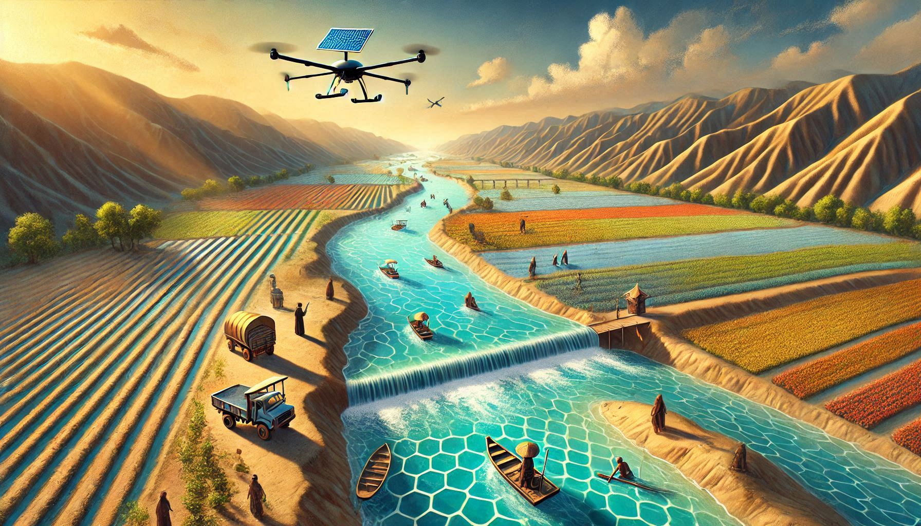
Interactive Maps and Tools
Dashboard for NHP, Minor Irrigation, and Water Resources Projects in Manipur
Visualize Maps and Data | Track Schemes | Instant Decision
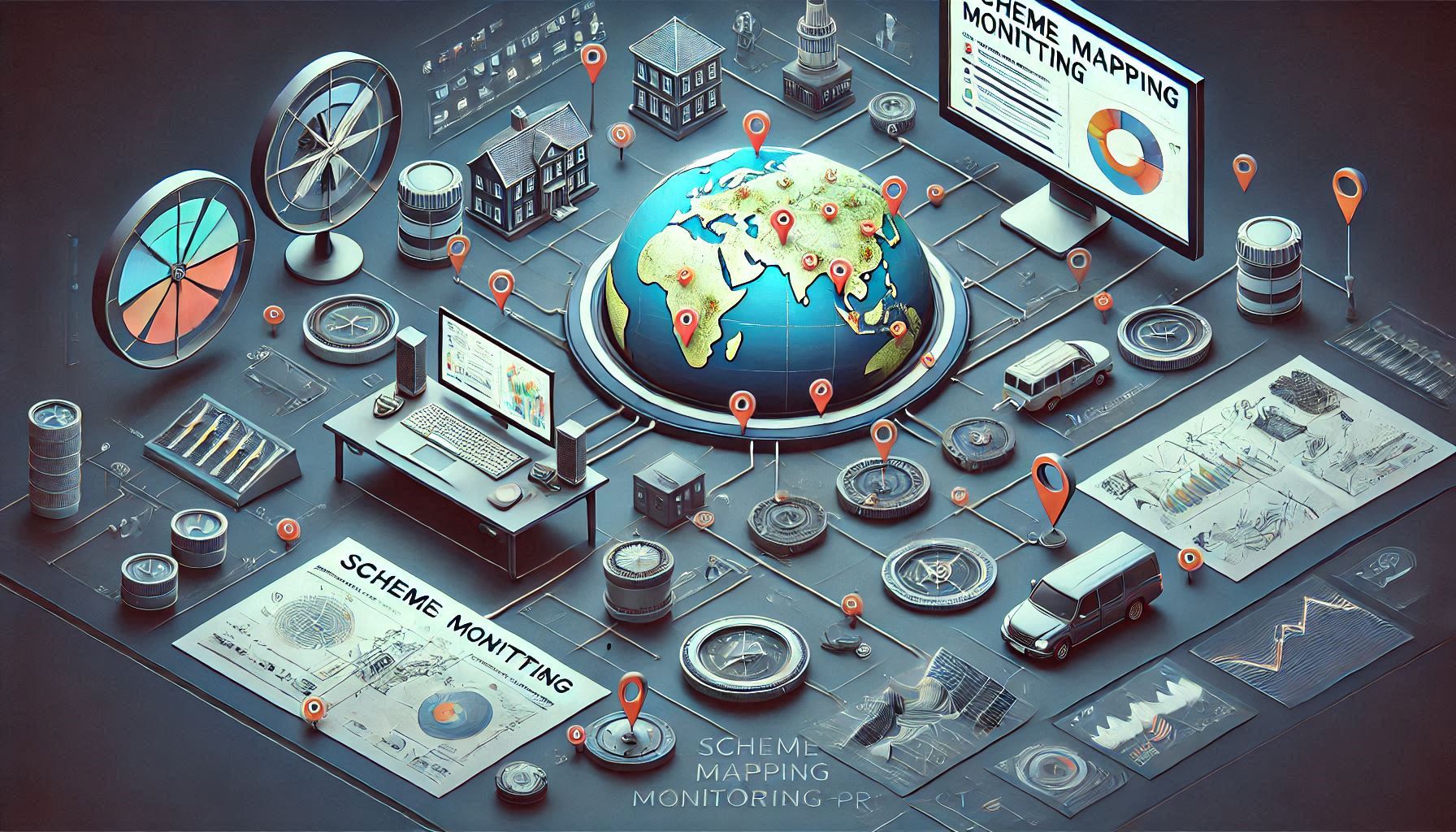
The National Hydrology Project
To improve the extent, quality, and accessibility of water resources information.
Develop a decision support system for flood and basin-level resource assessment/planning | Strengthen the capacity of targeted water resources professionals and management institutions in Manipur
Real Time Geotagged Statistics


Unified Platform for Enhanced Decision Making

Interactive Visualisation, search, analysis and reporting of water resources projects on a single-window platform.

Features all important data on Water Resources with administrative boundaries for effective decision-making.
Instant visualization of geotagged data with relevant attributes for real-time monitoring.
- All
- Success Stories
- Schemes
- Schemes one
- Other


Explore Videos on Various Schemes
Click on any video to learn more about our projects and initiatives.